By Sasa Nadjfeji, Belgrade
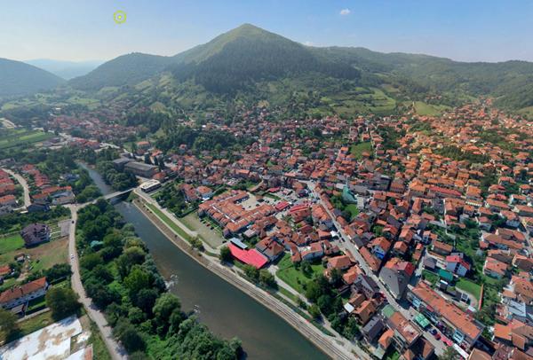
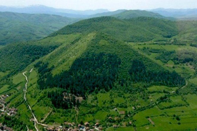
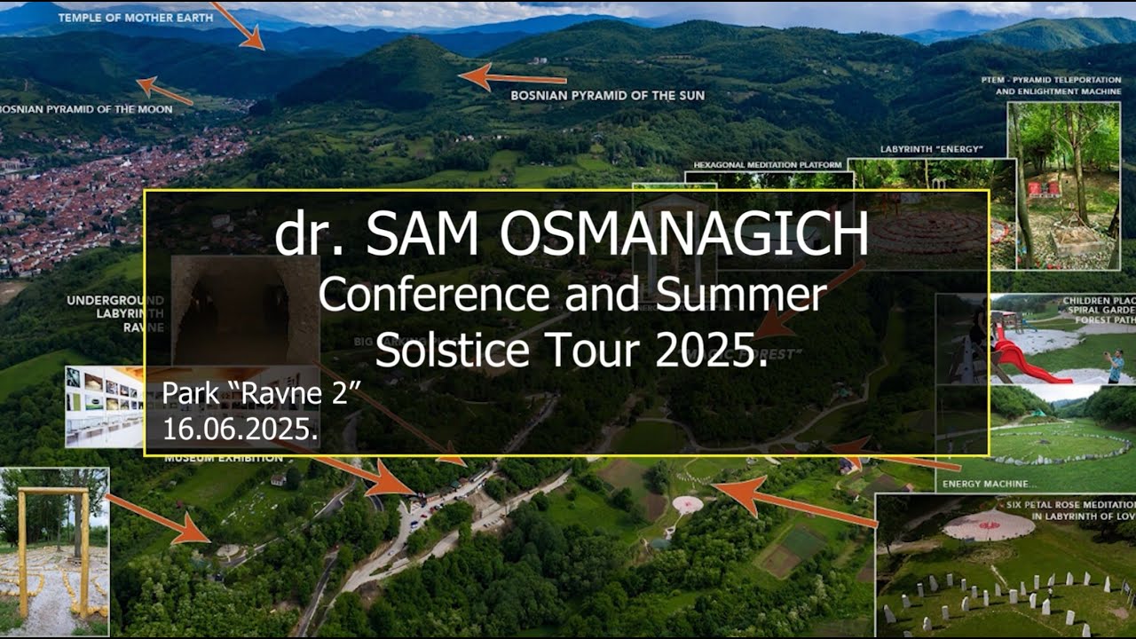
Inter-disciplinary research team from Serbia, Croatia and Slovenia performed number of recordings and measurements in Visoko, Bosnia-Herzegovina in September 2016. Team performed an air application of unmanned aerial vehicles and set the basic interface that is currently associated with the panoramic pictures of 360 degrees. It will enable easier understanding of the geometric proportions of the pyramid complex in Visoko.
The interactive map will be placed together with the results of measurements of energy fields and photos recorded with PIP system (Polycontrast interference photography).
The current platform covers seven sites. They can be found at the following link.
http://www.webpanorama.si/bosanske_piramide.html
The research team:
Marko Penček (Slovenia)
– Navigation drones
– Aerial photo and video recording
– Photo 360 degrees in the air
Stjepan Matijevic (Croatia)
– Photo 360 degrees from the ground
– Assistant drone navigator
Goran Marjanovic (Serbia)
– Measurement of the energy fields on the ground and in the air
Sasa Nadjfeji (Serbia)
– Project Coordinator
– Photo and video recording using PIP system
– videography
Aydin Ahmetspahić (Bosnia and Herzegovina)
– Logistics and Customer Support


